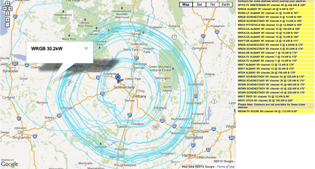
My script for OTACanada's Super Contours was removed this year as it used an older version of google map that was no longer supported. Super Contours is a widget I wrote that shows all the 36dbu service contours of local television stations that overlap your current position. It should indicate the minimum number of local television stations that you should be expected to receive with an indoor antenna and worst case a roof mounted one (excluding local obstructions).
I have revisited the code and now have my contour map KMLs working with the latest version of Google maps. The new widget can be run here:
http://otacanada.weebly.com/stationcontour-list-in-your-area.html
In my investigation, I have also discovered that my super contours are not currently working in my IOS app as the FCC has recently changed the way individual station contour maps are accessed. I will do an update shortly to rectify this.


 RSS Feed
